Chile – Torres del Paine
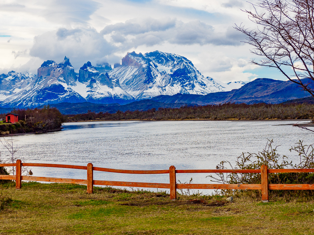
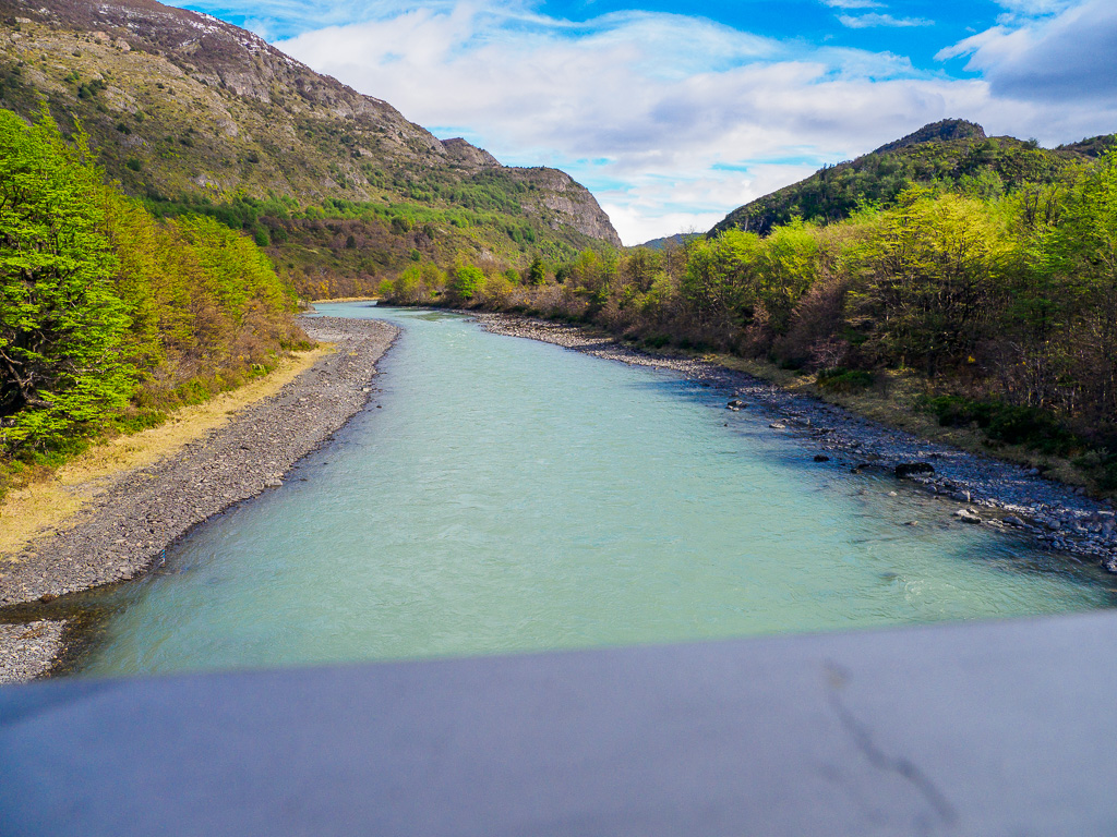
Rio Serrano
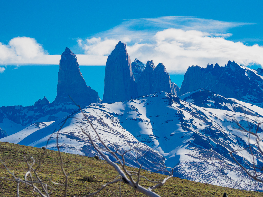
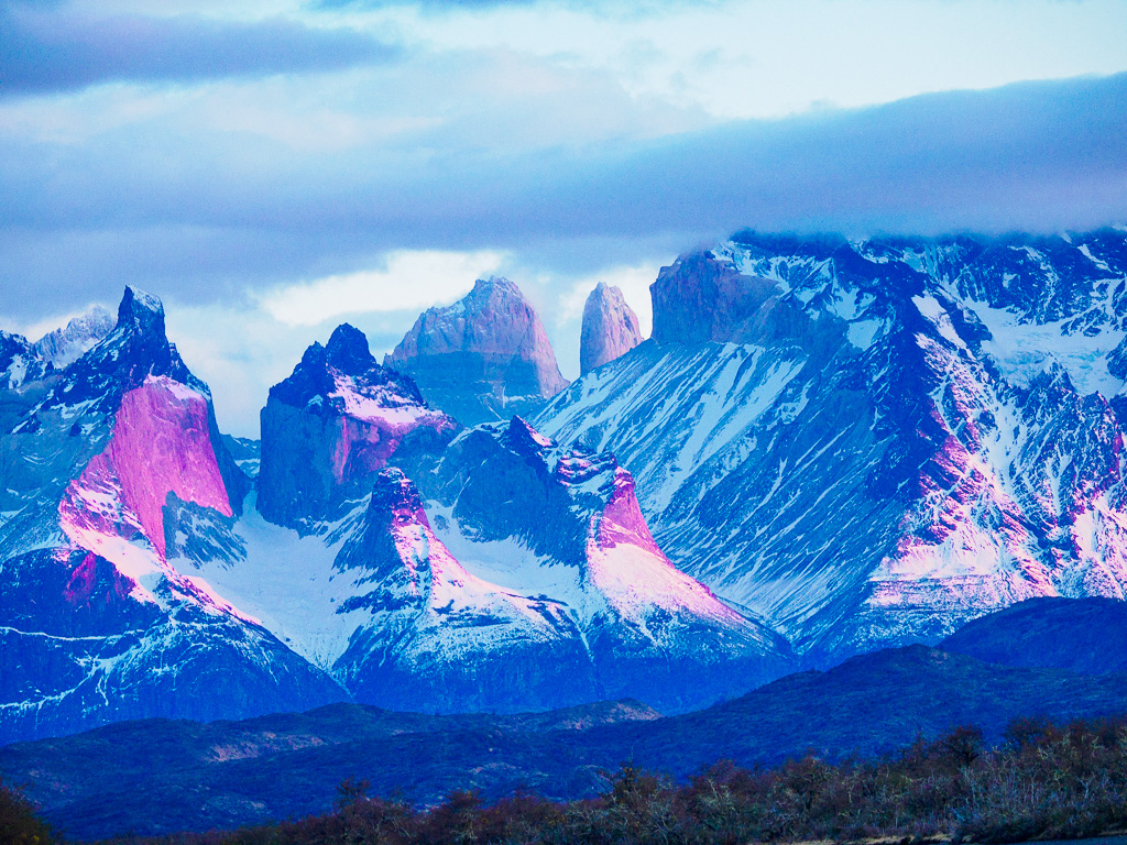
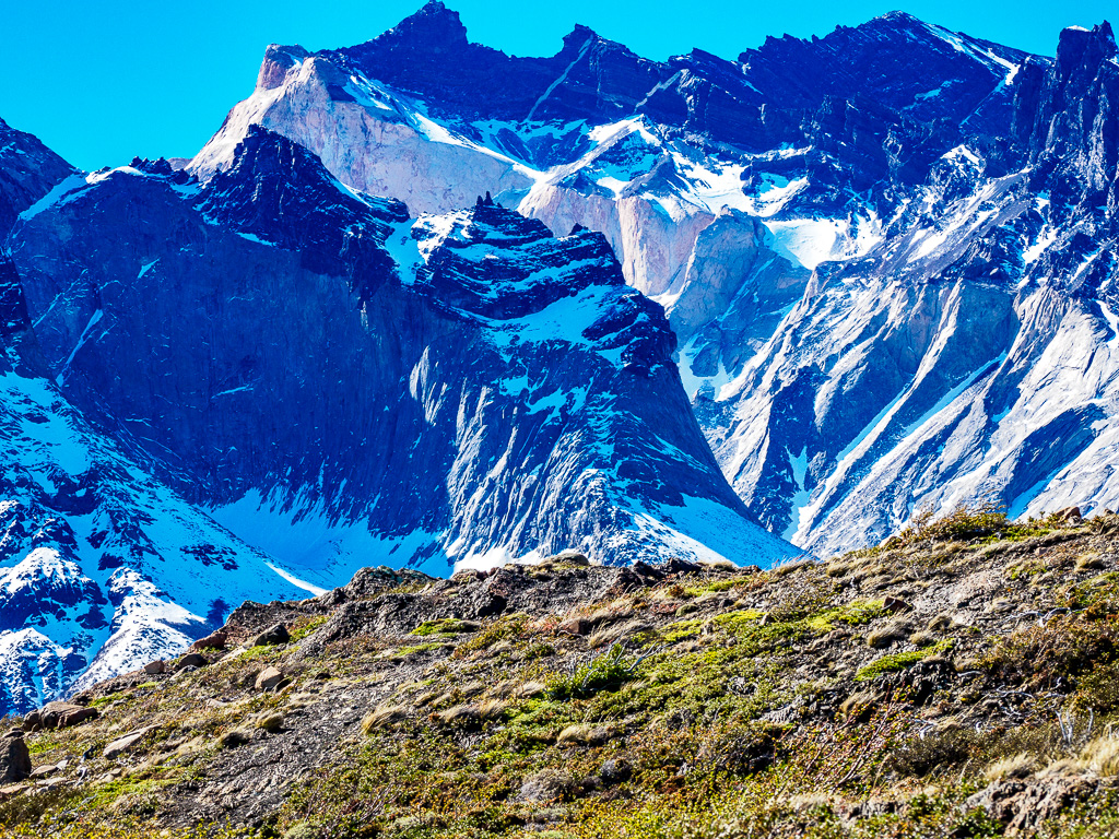
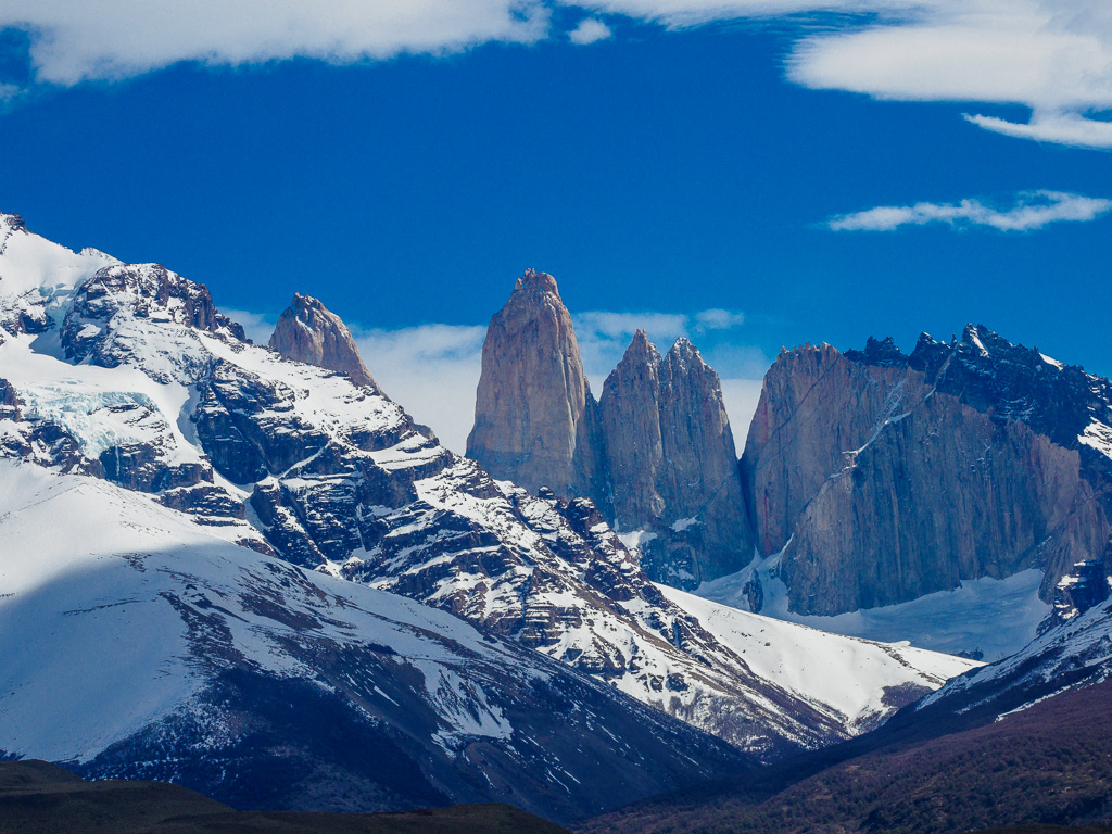
At tis point in Southern Chile, the Andes are no longer a solid mountain chain, but take the form of isolated “massifs” of mountainous terrain formed at different times. What makes the Paine Massif so unusual is the eruption of magma into monolithic granite extrusions thousands of feet high, which are now exposed.
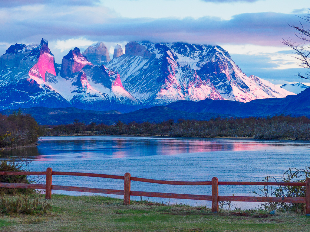
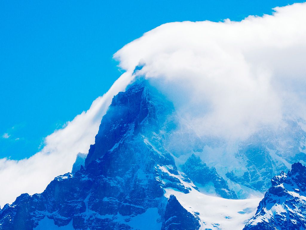
The Towers at Dawn
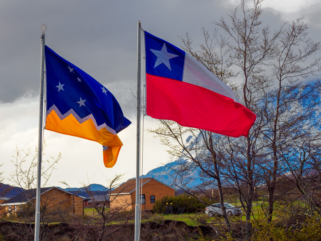
As seen, wreathed in cloud, from the village of Rio Serrano. L: The flags of Magallanes province and Chile. Note the similarity of the Chilean flag to that of Texas.
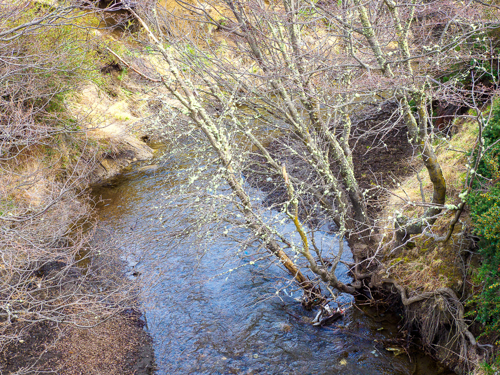
Spring Streams
October is early spring in this part of the world. The snow is gone, but the water is still high in places.
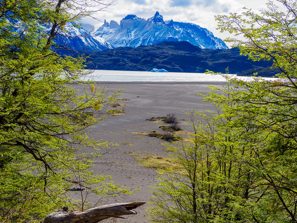
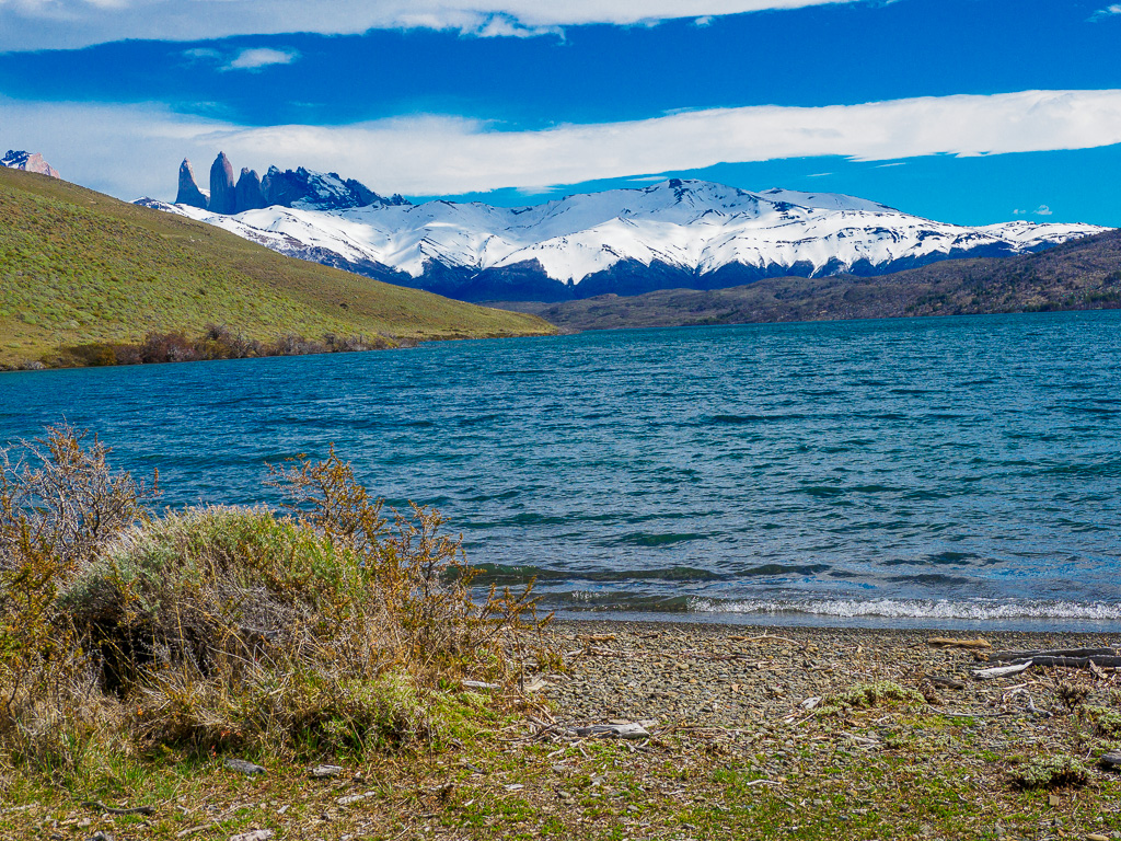
Grey Lake
This glacial lake at the foot of Grey Glacier, is huge, covering 39 square kilometers.
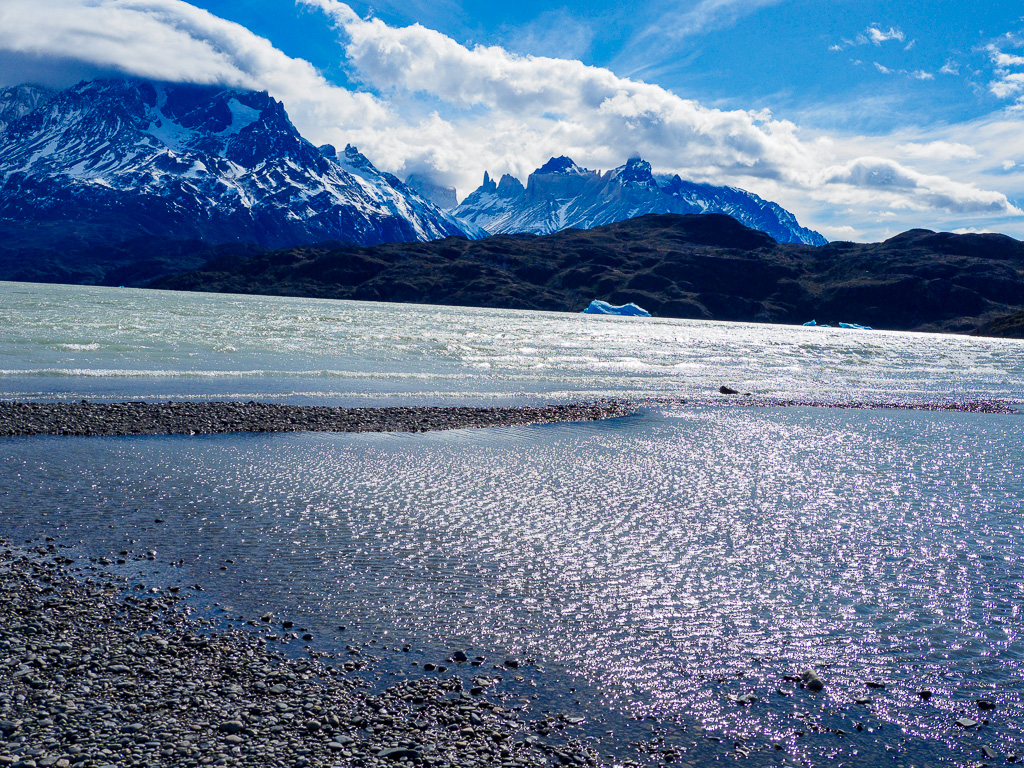
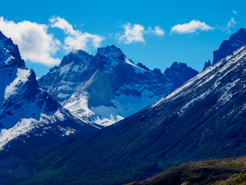
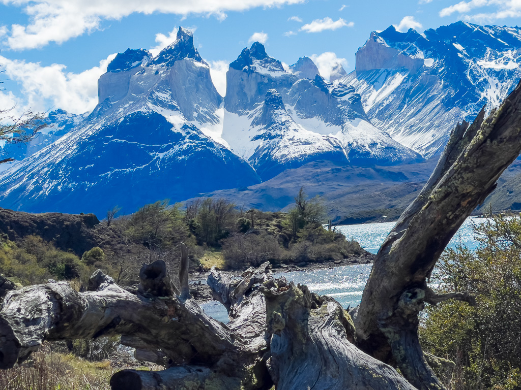
Views of the Towers
Grey Lake has its own views of the Paine Massif. Below: The Towers massif in two parts.
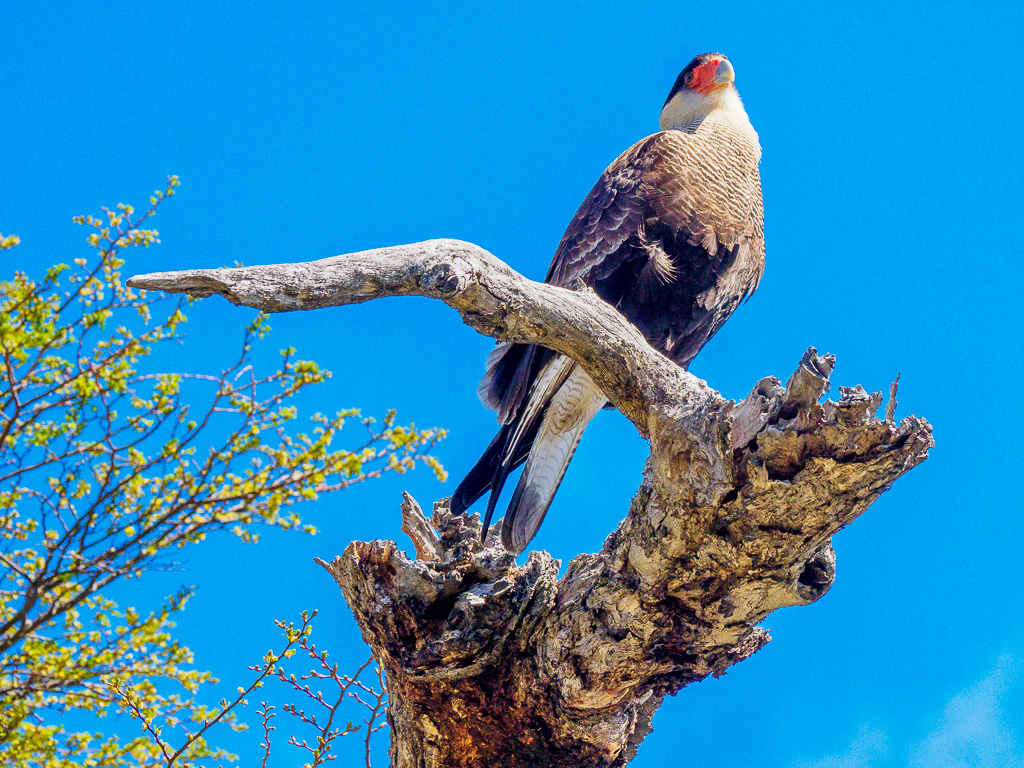
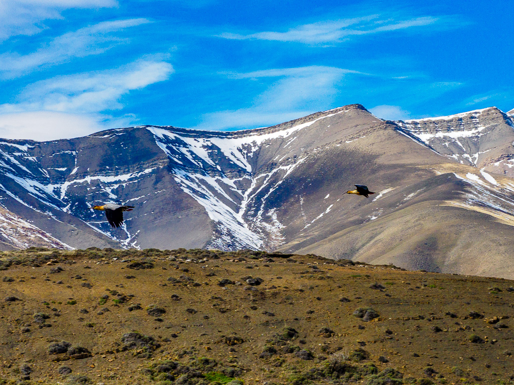
The Caracara
This falcon is as big as a peacock but fully flight capable. It is the only falcon that does a substantial part of its hunting while walking on the ground.
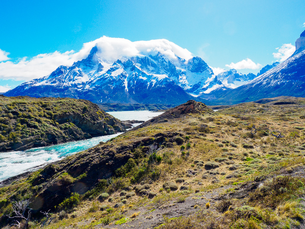
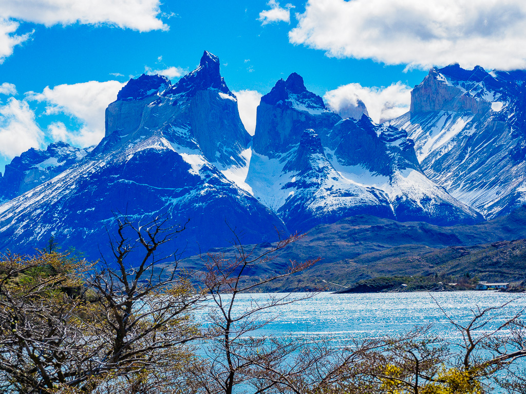
Lake Pehoe
This 22 sq km lake is fed from Lake Nordenskjöld trough the Paine River. In this view of Paine, orographic clouds can be seen forming and then flowing over the leftmost peak.
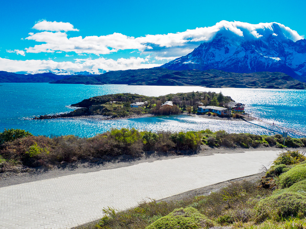
The Island
This island in Lake Pehoé hosts a hotel, which is connected to the land by a footbridge.
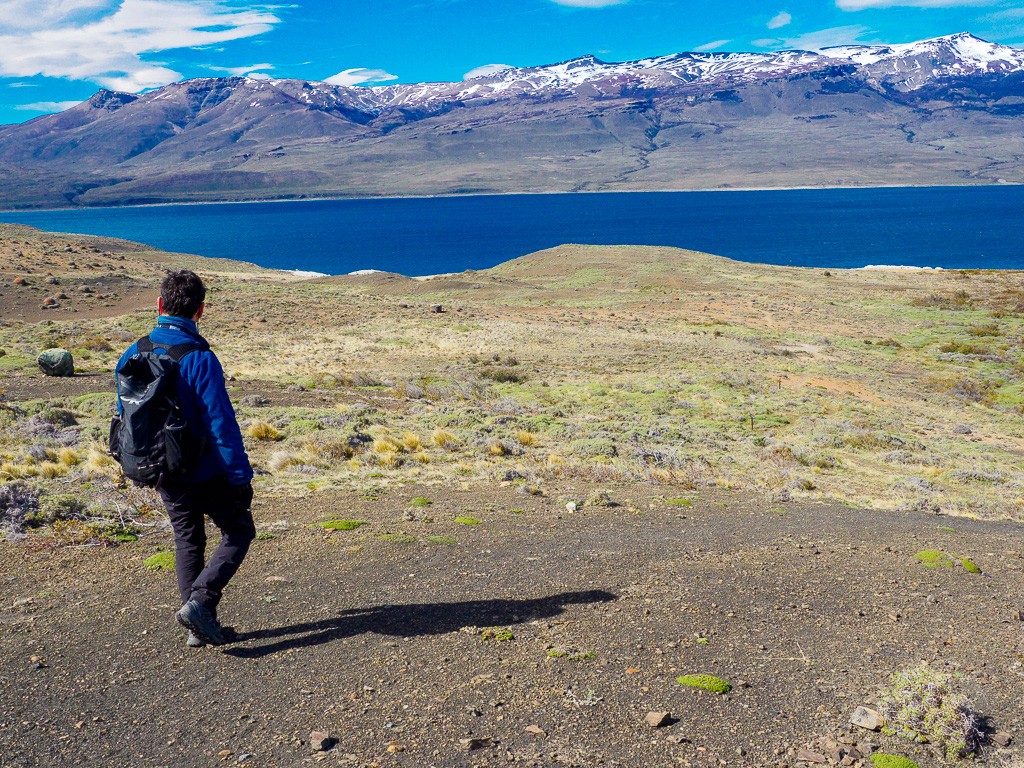
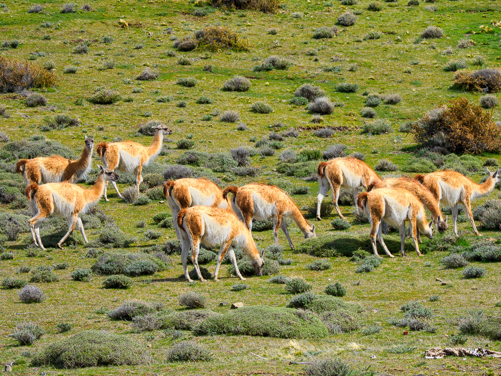
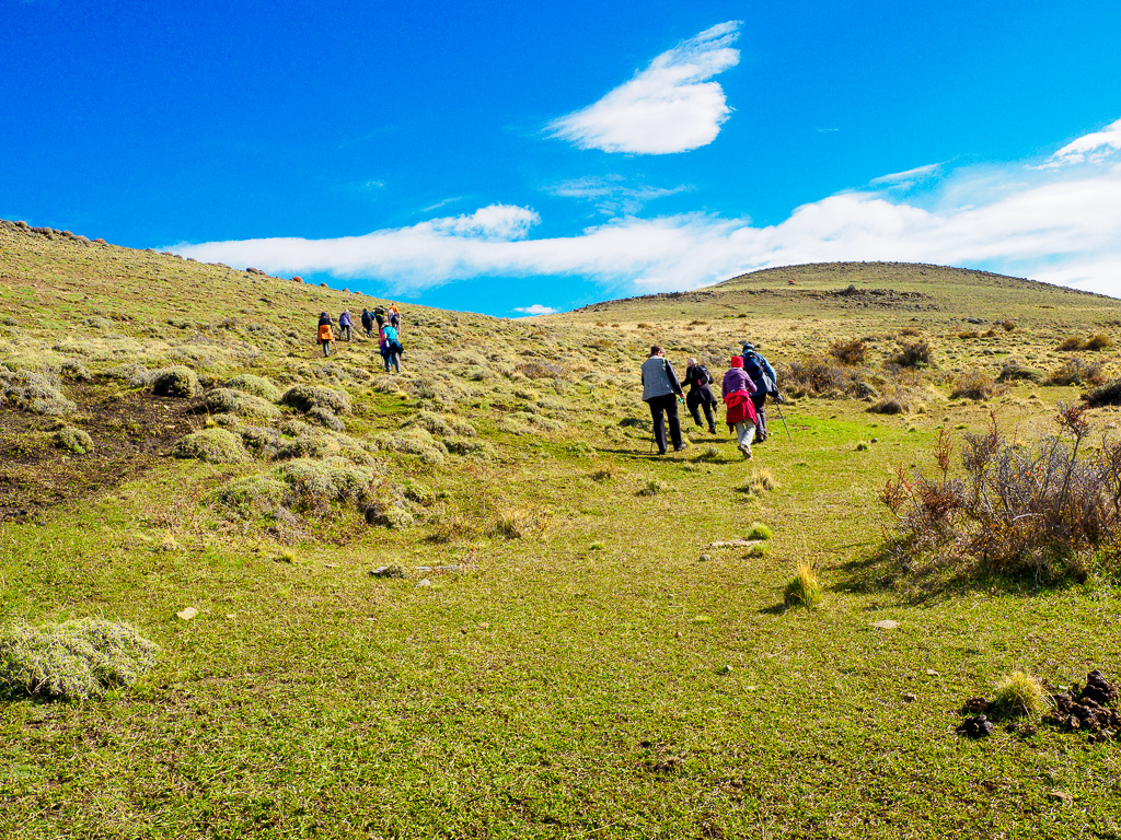
Hiking the Hills
Torres del Paine National Park is mostly rolling terrain like this, grazed almost bare by herds of guanaco (below L). These herbivores are gentle and are of the camel family.
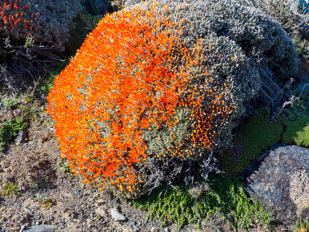
Below R, this is not a boulder! A well-grazed bush has come into flower.
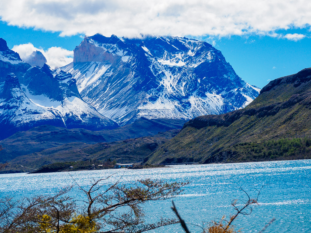
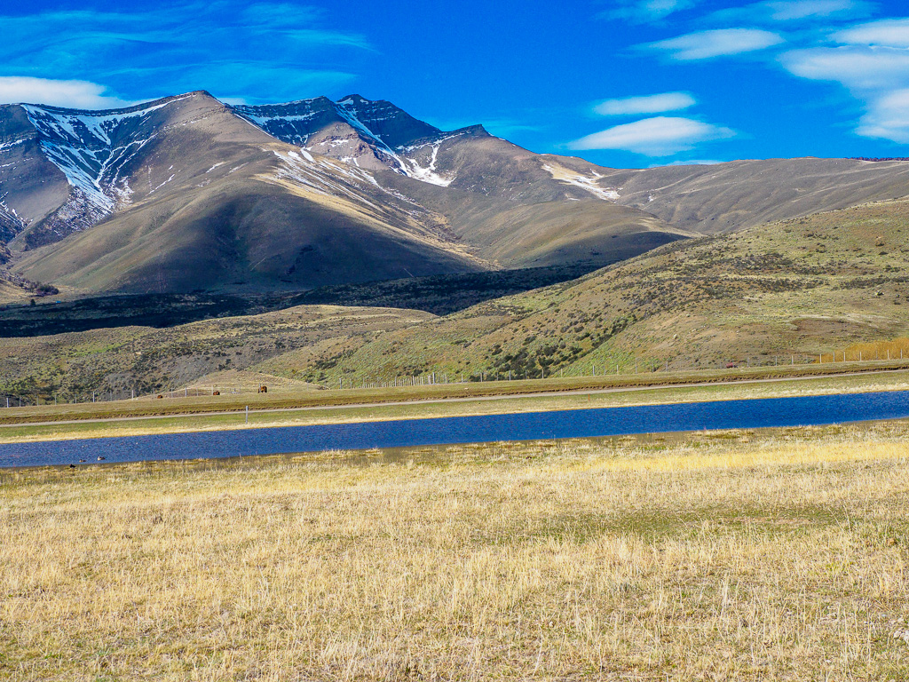
A Fresh View
From this spot, a large quarter-circler around in the Park from Rio Serrano, more of the granite towers become visible. Below: Looking around at other massifs.
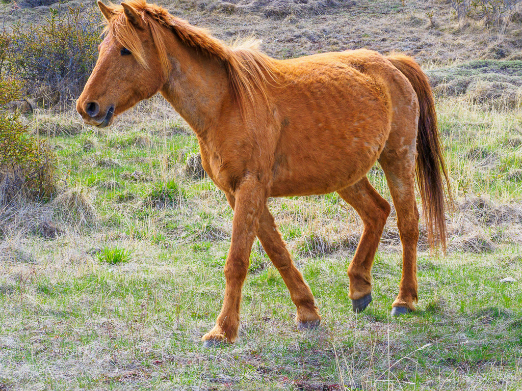
Raising Horses
Though not native to this area, horses were just as important in early colonization as they were in North America.
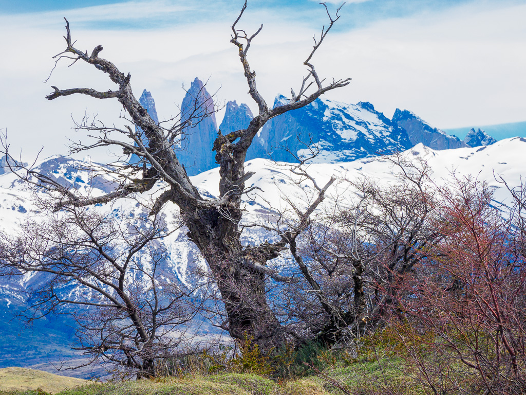
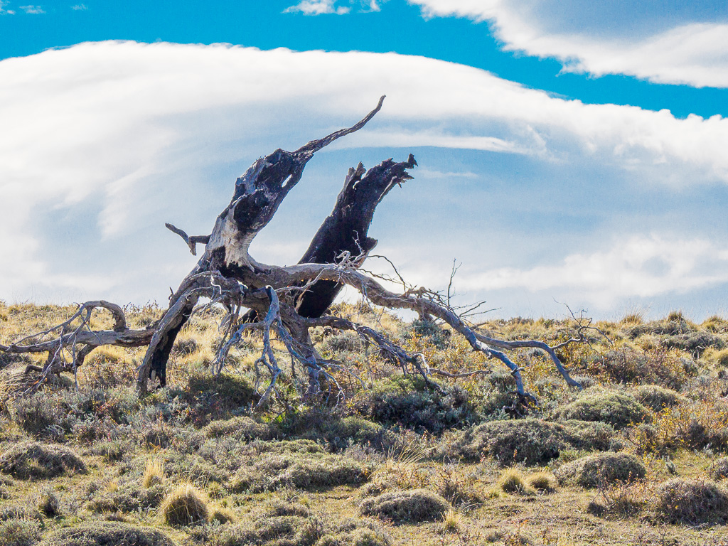
Monument
The wind sculpts dead wood into artistic shapes.
One Last Look
All three towers stand out from this angle.